
Project resources
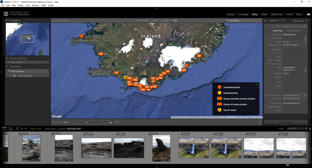
This work documents selected geosites of Katla Geopark in southern Iceland through photographs and panoramas. The material was acquired during a visit in April 2019 and used to develop a panoramic presentation of the area.
Field photography
Most panoramas were photographed from a drone because several geosites were difficult to access. The visit covered part of the geopark: some highland locations were inaccessible at that time of year.
The original presentation and the later version
The original presentation was developed in Pano2VR in 2019. In 2022 I returned to the same photographic files, carried out further processing and included additional material that had not been used in the first version.
The later version combines the panoramas with a custom map. Both versions belong to the same photographic project and show different ways of organizing and navigating its material.
Open the original presentation · Open the later version
Explore the later version
Development notes
Read about the custom map and its connection to the panoramas