
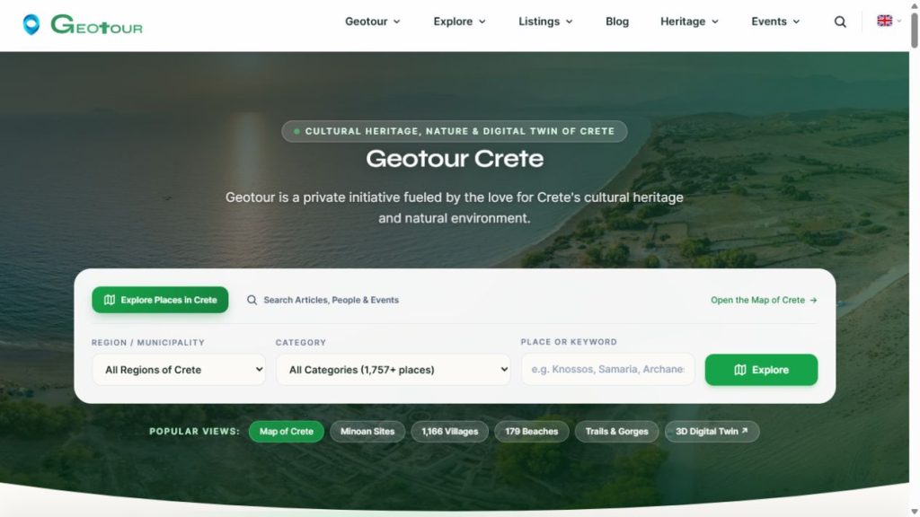
Geotour Crete is my ongoing project for documenting and understanding Crete’s cultural heritage, history, people and natural environment. I began developing it in May 2024. It brings written material, photographs, maps and panoramic views together so that a place can be explored through its landscape, its history and its connections to other places and people.
One project, connected ways to explore
The website, interactive maps, photographic archive and virtual tour are parts of the same project. They provide different ways to approach related material, rather than separate products. A village, monument or route can connect to photographs, historical information, nearby places and panoramic views.
Geotour also brings together historical periods, notable figures, family trees and living heritage. These connections help place individual records in a wider geographic and historical context. Documentation is an ongoing task: coverage varies, sources need checking, and entries are revised as more information becomes available.
My work on Geotour
I develop and maintain the connected applications, organize the information and produce much of the photographic and panoramic material. The work combines field photography, processing and cataloguing images, researching and writing, geographic data management and software development. External information and datasets are credited to their sources.
The project also gives me a place to learn and experiment with ways of connecting this material. Tourism is one possible use, alongside local history, education, personal research and exploring the island’s environment.
How the parts connect
WordPress manages the main website and its editorial content. The maps connect places, routes, photographs and other geographic information. CesiumJS provides the 3D view, Pano2VR provides the panoramic tour, and Piwigo manages the photographic gallery. PostgreSQL/PostGIS and the tiling services support the geographic applications.
The point of this arrangement is the connection between the material: a photograph has a location, a route passes through places, and a place has people and history associated with it. The maps and tour are ways to follow those connections.
Access and reuse
Geotour’s text and photography are published under CC BY-NC-SA 4.0: reuse requires attribution, is limited to noncommercial purposes, and adaptations must be shared under the same licence. Third-party material and datasets retain their own terms.
Explore Geotour
Development notes and articles
On Panotours I document how I develop Geotour, the methods I use and what I learn along the way. New articles will build on this overview as the project develops.