
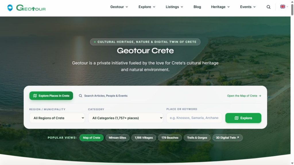
Geotour is the main project I have been developing since May 2024. It concerns the documentation and understanding of Crete’s cultural heritage, history, people and natural environment. This article was revised in October 2026 to reflect that purpose and explain how I will document its continuing development on Panotours.
Connecting the material
A photograph, a place description, a historical reference and a route each provide part of the picture. Much of the work on Geotour concerns organizing them and making their relationships visible. A reader should be able to move from a place to its photographs, from a historical figure to associated places, or from a route to the landscape it crosses.
The website, maps, photo archive, family trees and panoramic tour support that work together. Their value lies in the material and its connections, as well as the software used to present it.
Work that continues
Developing Geotour involves gathering and checking information, taking and processing photographs, organizing records and maintaining the applications that connect them. Adding a feature is one stage; documenting, revising and maintaining its content continues afterwards.
The project also allows me to experiment and learn. Not every experiment becomes a permanent feature, and the coverage of places and subjects remains uneven. I want the articles about it to explain those decisions and limits alongside the working examples.
What I will publish on Panotours
I will use Panotours for articles about Geotour’s development: how I organize information, connect applications, process photographs and geographic data, and approach particular problems. Articles about individual features will link back to the overall project, so their context remains clear.
The place records, historical material and other documentation produced for Geotour can be explored on Geotour itself.