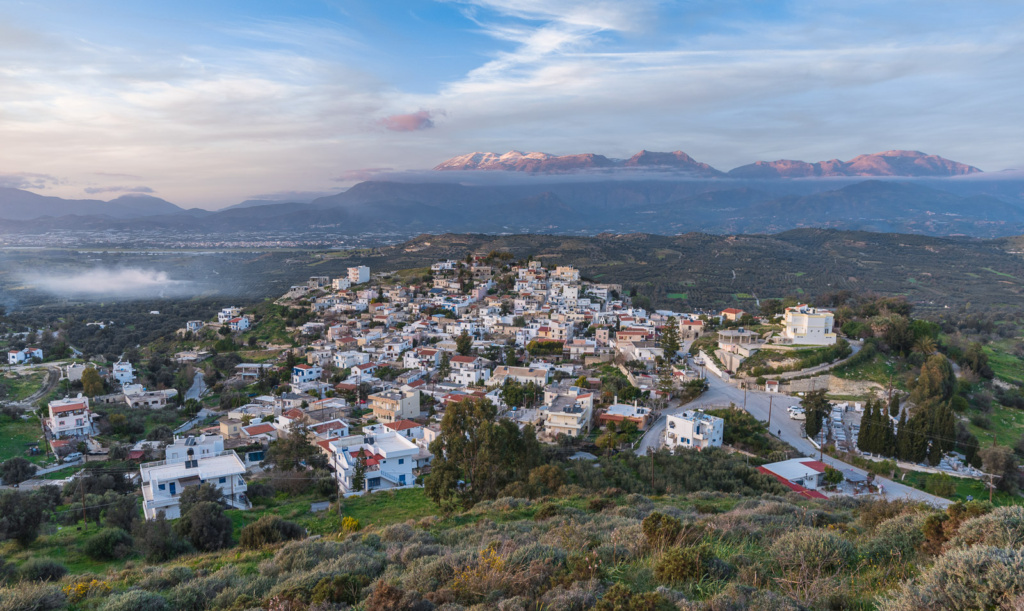
Aerial photographs show the relationship between a place and its surroundings: the shape of the land, a building’s position, nearby features and the wider landscape.
Combine scales and viewpoints
I use aerial images alongside ground photographs and panoramas. A wider view helps locate a subject; closer photographs provide the details that an aerial image cannot show. The selection follows the purpose of the documentation.
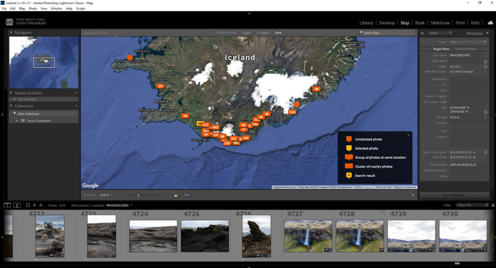
For cultural and landscape projects, location and descriptive information help connect each image to the wider record. For a property, the surroundings need to be shown as accurately as the interior.
Planning the photographs
Before planning a shoot, I need to know the location, the subject and the intended use of the images. Access, conditions and applicable flight restrictions affect what can be photographed. The examples below show existing work rather than a promise that every location can be covered.
Photographs


See the related projects below or send the location and purpose of the proposed work.