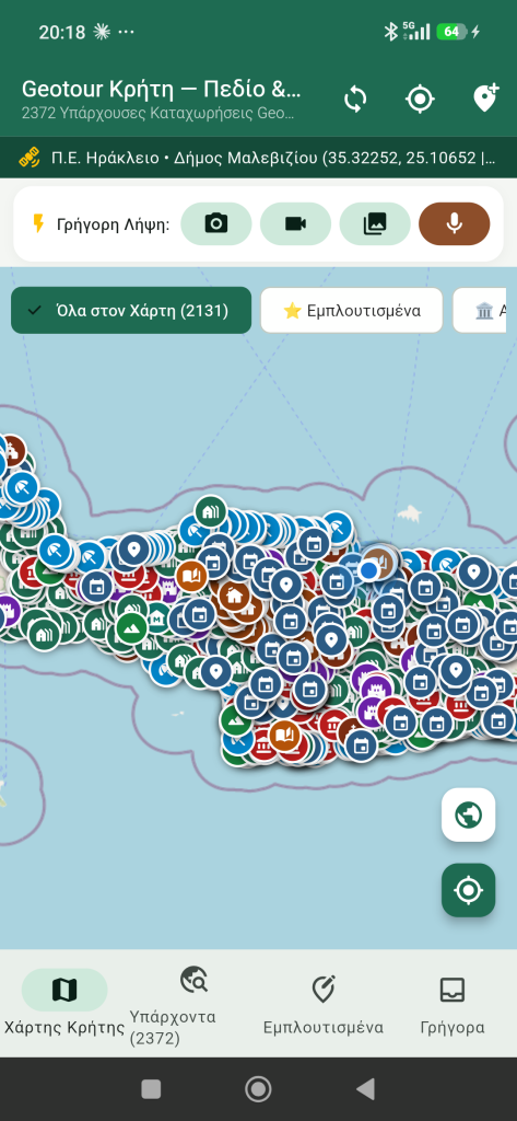
Geotour Crete: an Android app for field documentation
A mobile companion to Geotour for connecting photographs, Greek voice notes, GPS positions and GPX tracks to existing records, then exporting the material for editorial review.
Read more
A mobile companion to Geotour for connecting photographs, Greek voice notes, GPS positions and GPX tracks to existing records, then exporting the material for editorial review.
Read more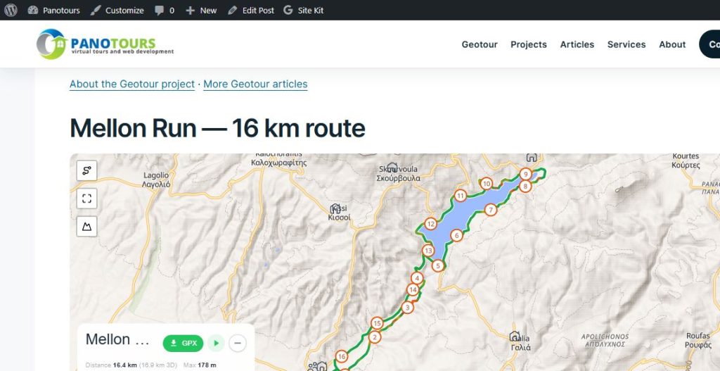
Three Mellon Run route maps demonstrate how Geotour’s geographic material can be presented within another website as part of the same project.
Read more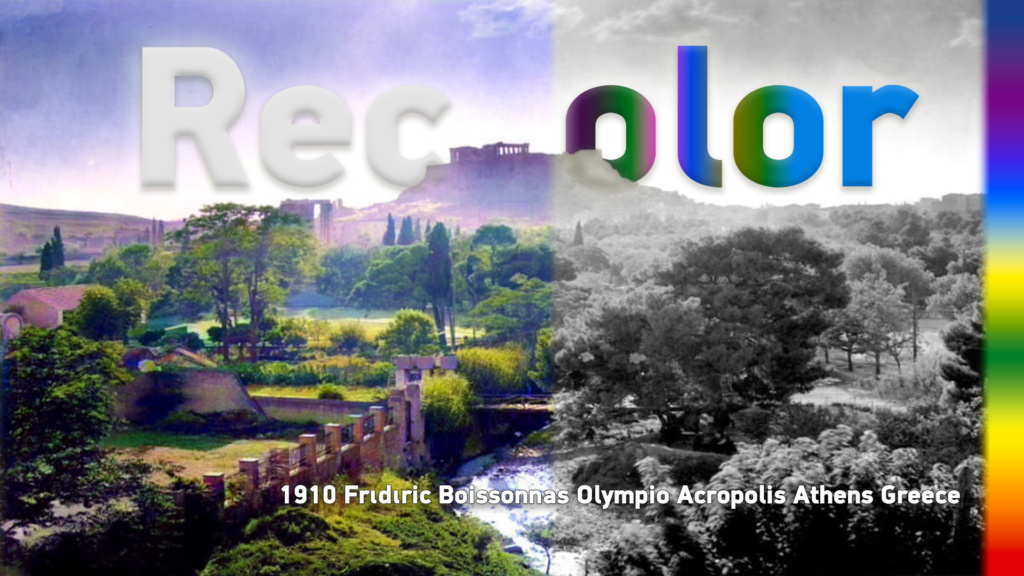
Notes from my 2024 colourisation experiments, with a video and three ComfyUI workflow examples. Colour is an interpretation, not evidence of the original scene.
Read more
Geotour is the main project I have been developing since May 2024. It concerns the documentation and understanding of Crete’s cultural heritage, history, people and natural…
Read more
How I approach accommodation photography: preparing the rooms, choosing light, showing their layout and keeping the result faithful to the place.
Read more
A virtual tour describes how a place is presented. Panoramas and 3D models are ways to build it; VR describes a way to experience it.
Read more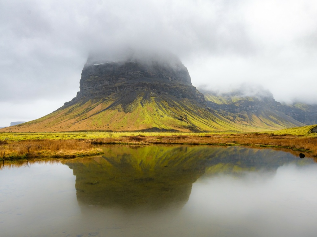
A development note from the 2022 Katla presentation: organising panorama locations in PostGIS and linking the map to scenes in the tour.
Read more
How field photographs, panoramas, video and geographic data from Psiloritis became material for tours, storymaps and 3D presentations.
Read more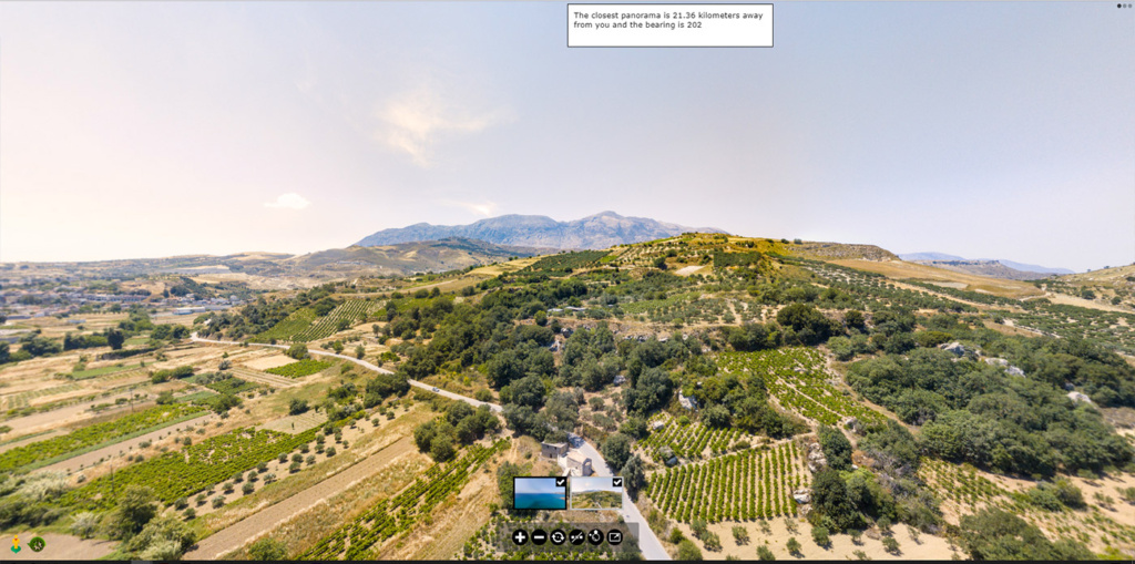
An archived 2021 experiment comparing a device location with panorama coordinates. The original code is retained as a development record.
Read more
An archived development example: editing coordinates through a map, then using spatial queries to associate a point with geographic areas.
Read more