
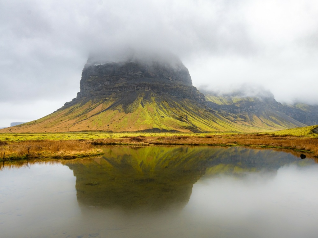
This development note records the map component of my 2022 reworking of the Katla Geopark project. The photographs were taken in southern Iceland in April 2019. The map and the panoramic viewer are connected parts of that project.
Why a separate web map?
The photographed locations covered a wide area. A zoomable map offered a more useful way to locate and filter panoramas than placing all the points on one fixed image. I used Leaflet for the map and 3DVista for the later panoramic presentation.
Organising the locations
In this implementation, PostgreSQL with PostGIS stored panorama points, their names and types, alongside the geopark boundary. I edited the geographic information using QGIS and inspected the tables in pgAdmin. The map received geographic features as GeoJSON.


Connecting a point to a panorama
The map associated a point with a scene in the tour. From the tour’s embedded map, selecting the point opened that scene in the viewer. From the standalone map, the link opened the tour at the selected scene in a new tab.
Deep-link parameters depend on the viewer and its version. For a new implementation, refer to 3DVista’s deep-link documentation rather than copying an old URL pattern. Leaflet’s GeoJSON example explains the map-data format.
The map component
Open the Katla map. This page describes the 2022 implementation, not a current comparison of the two tour-authoring packages.