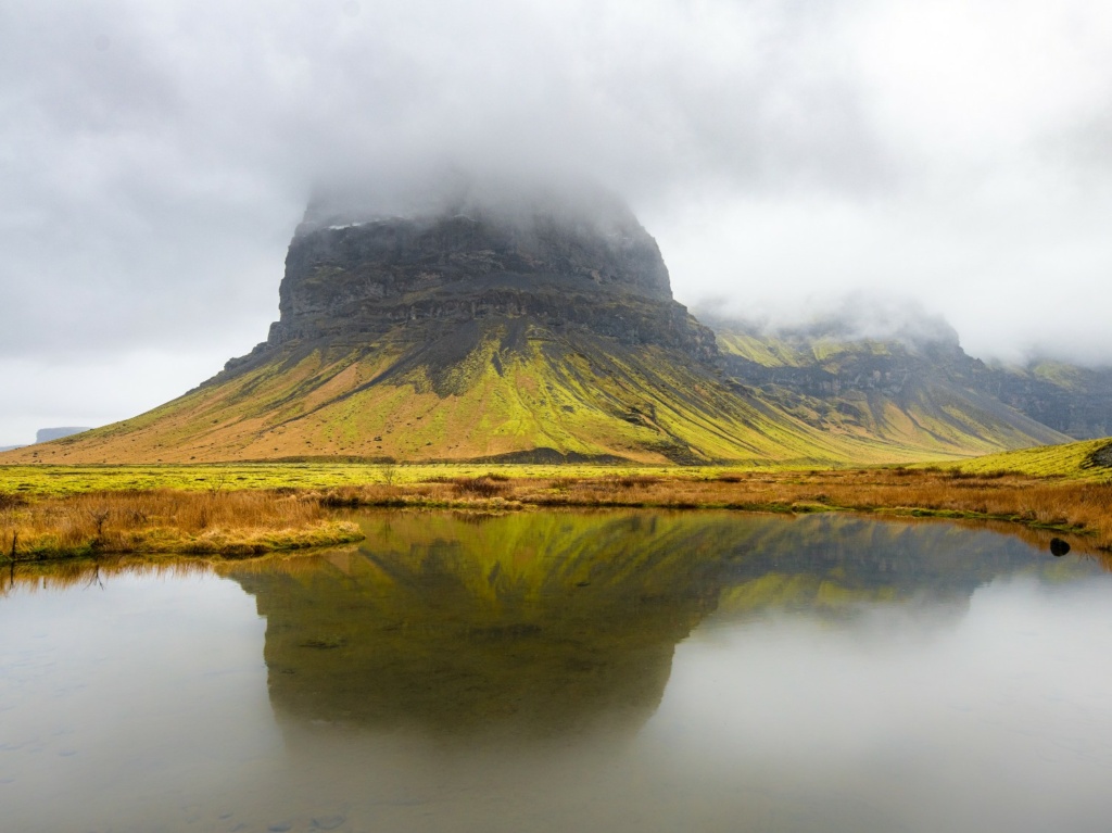
Katla Geopark: connecting a panoramic tour to a Leaflet map
A development note from the 2022 Katla presentation: organising panorama locations in PostGIS and linking the map to scenes in the tour.
Read more
A development note from the 2022 Katla presentation: organising panorama locations in PostGIS and linking the map to scenes in the tour.
Read moreHow field photographs, panoramas, video and geographic data from Psiloritis became material for tours, storymaps and 3D presentations.
Read moreAn archived development example: editing coordinates through a map, then using spatial queries to associate a point with geographic areas.
Read moreA record of early mapping work linking places, panoramas and historical dates, with a QGIS screenshot and the original marker-data example.
Read more

